Global Traffic Map 2010

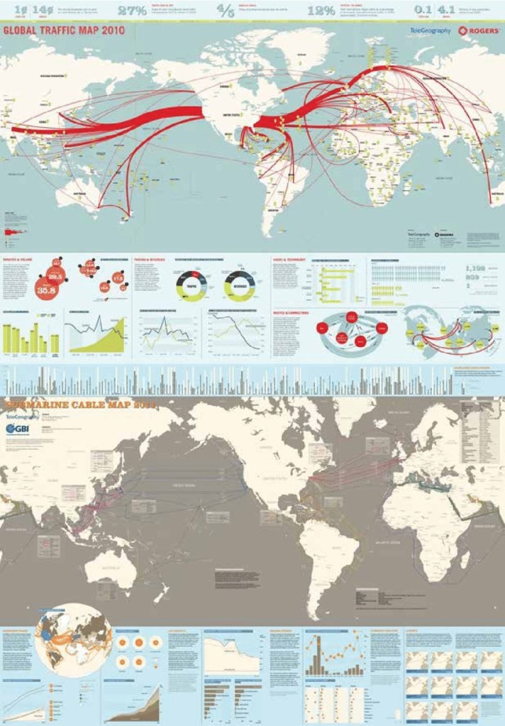
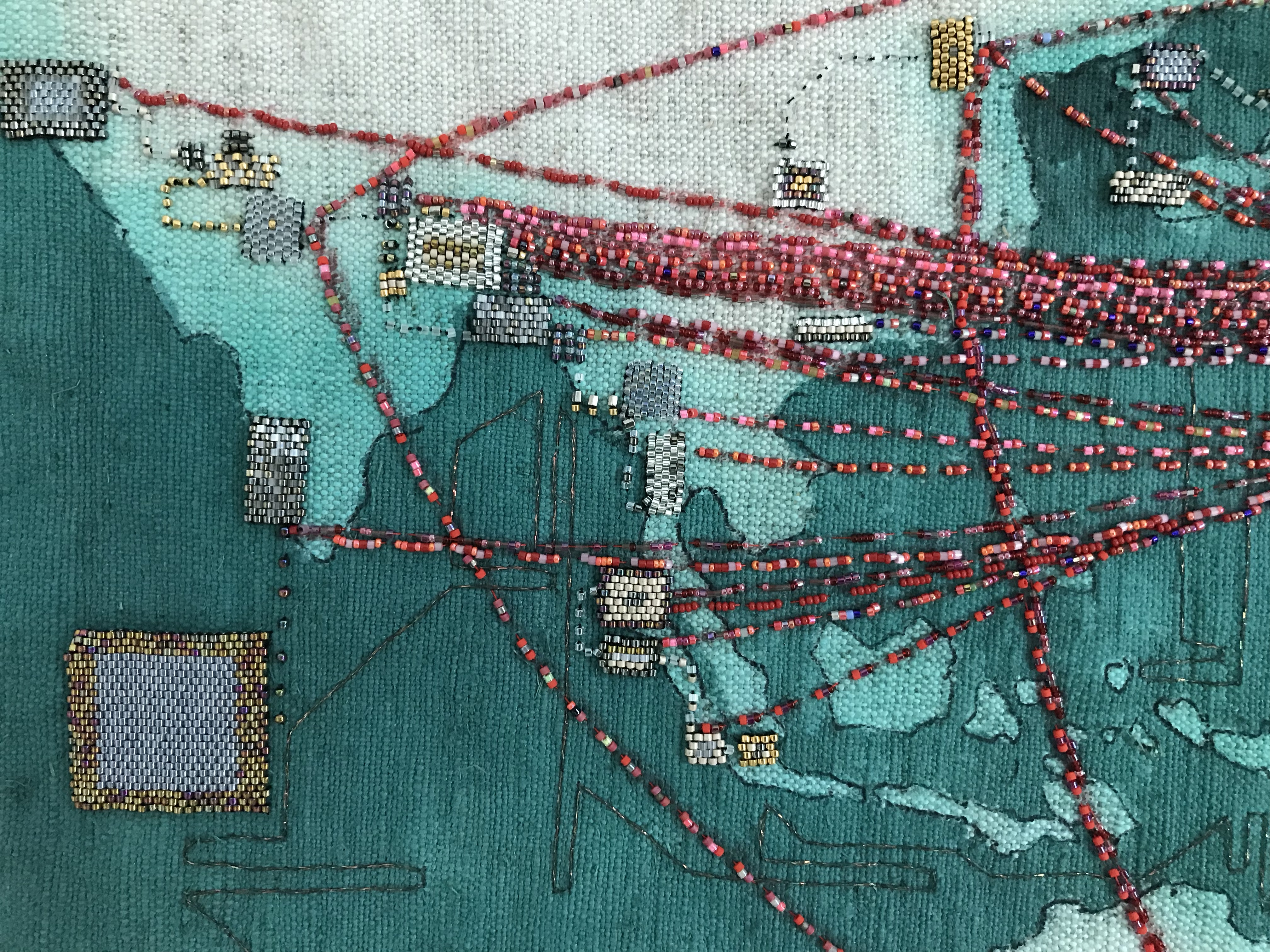
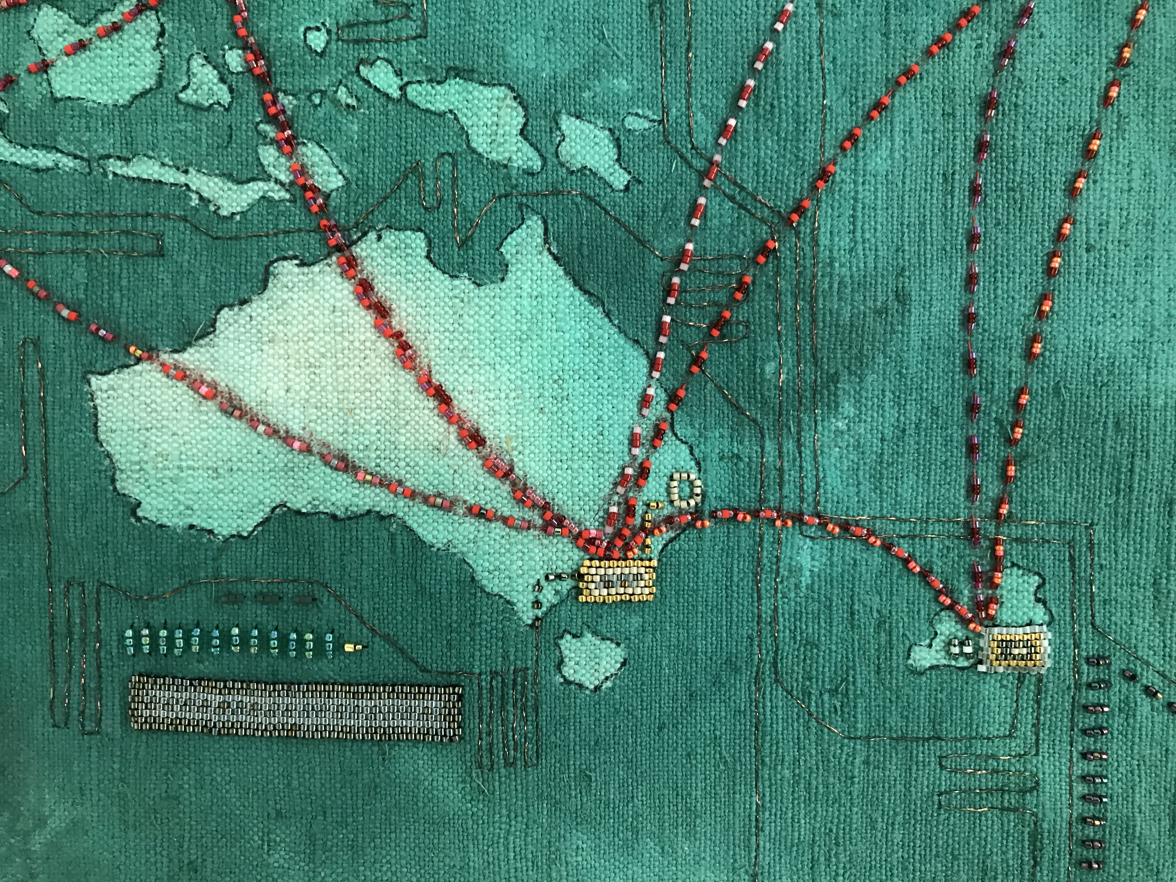
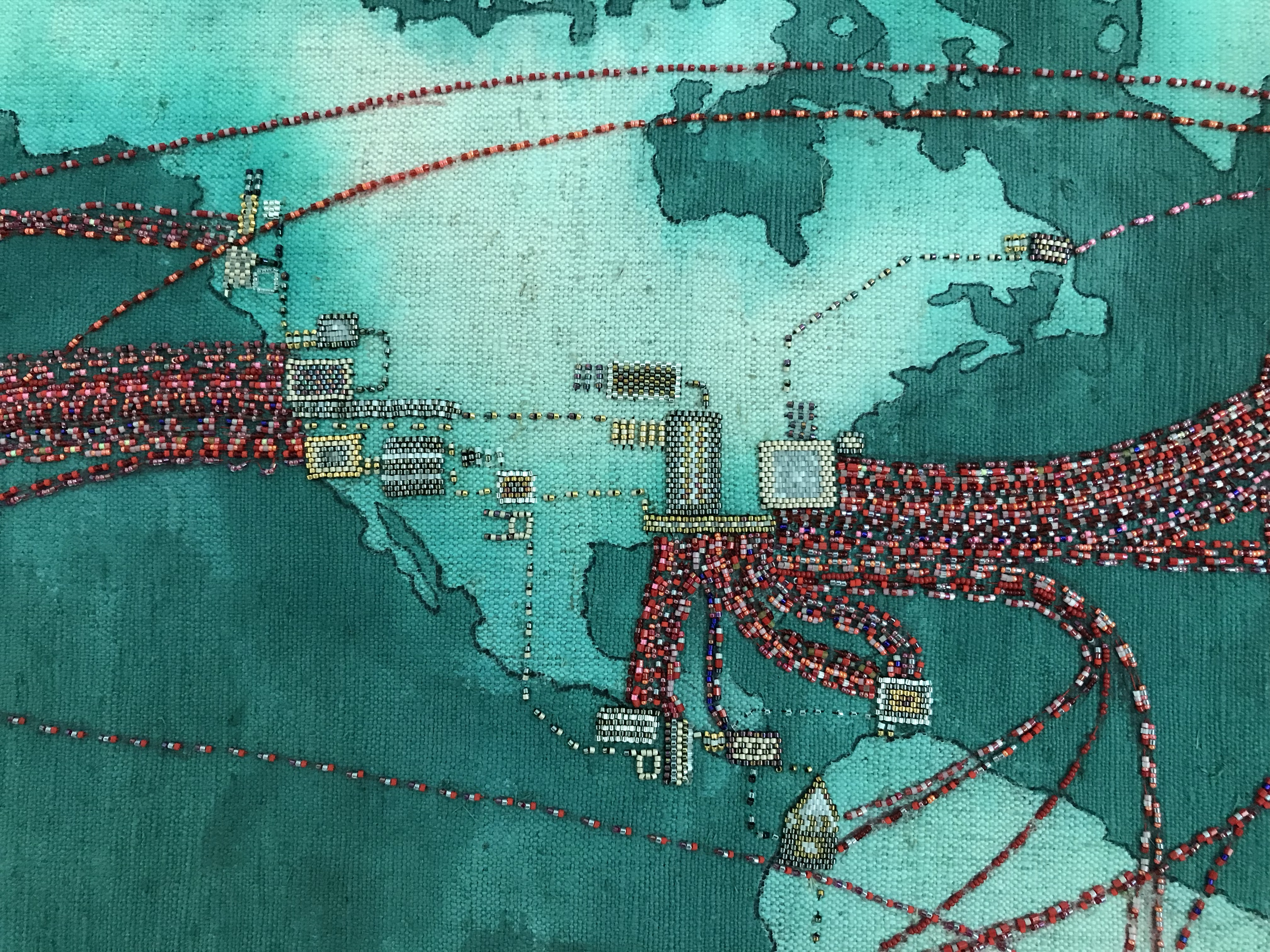
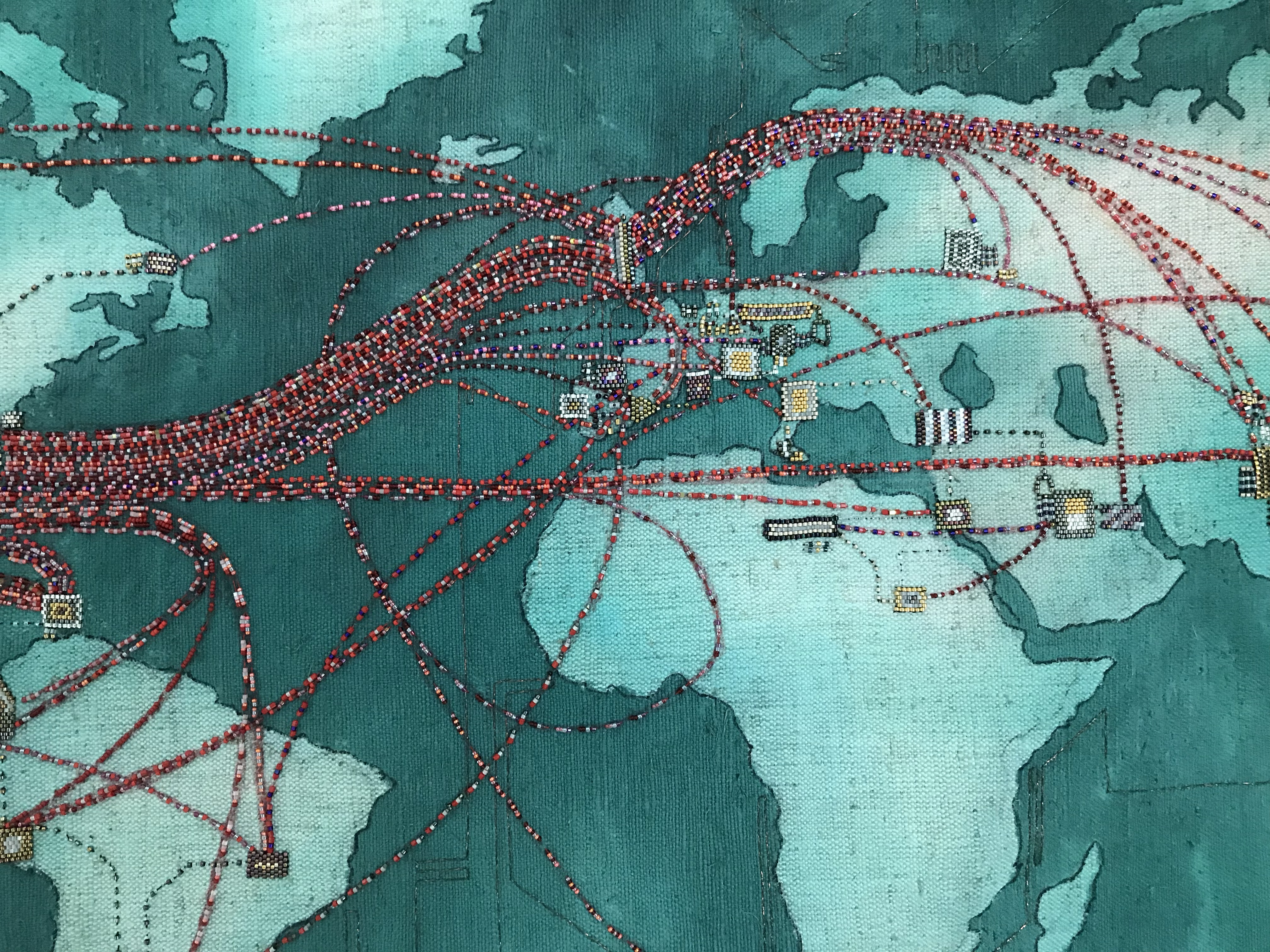
The global Traffic map of Telegeography shows the worldwide data distribution in the year 2010. The red strand, outcropping from North America is reaching every part of the world. In the ten years of our century this map illustrates the advantages of North America, Central Asia and Europe in technology, infrastructure and data exchange. How will the 2020’s look like? Will the center point of these maps shift?

Teleography(CC), Global Traffic Map 2010 and Submarine Cable Map 2011
‘Global Traffic Map 2010’ is made of the inherited flax textile (see City of HeritageII), seed beads and metallic polyethylene yarn.
Measurements: 127cm x 62cm

Update 2020 telegraphy (link)

Leave a Reply

Please log in using one of these methods to post your comment:

WordPress.com Logo

You are commenting using your WordPress.com account. Log Out /  Change )

Facebook photo

You are commenting using your Facebook account. Log Out /  Change )

Connecting to %s