
This blog post is part of the Random Sampling Singapore project. The Project aims to sample 100 places on the island of Singapore over a one year period in order to gain an unbiased and holistic view of the city state.
At the ending of the year 2021 we went with the ferry to Palau Ubin, an island in the east of Singapore. There are four coordinates on this island, which are all either in military areas or in the wetlands. We decided to rent bikes and try to approach coordinate 49, which is on the coast at the very east end. The farest we could go was the Check Jawa Wetlands, where we left our bikes and climbed to an observation platform to look at point 49 from the distance.
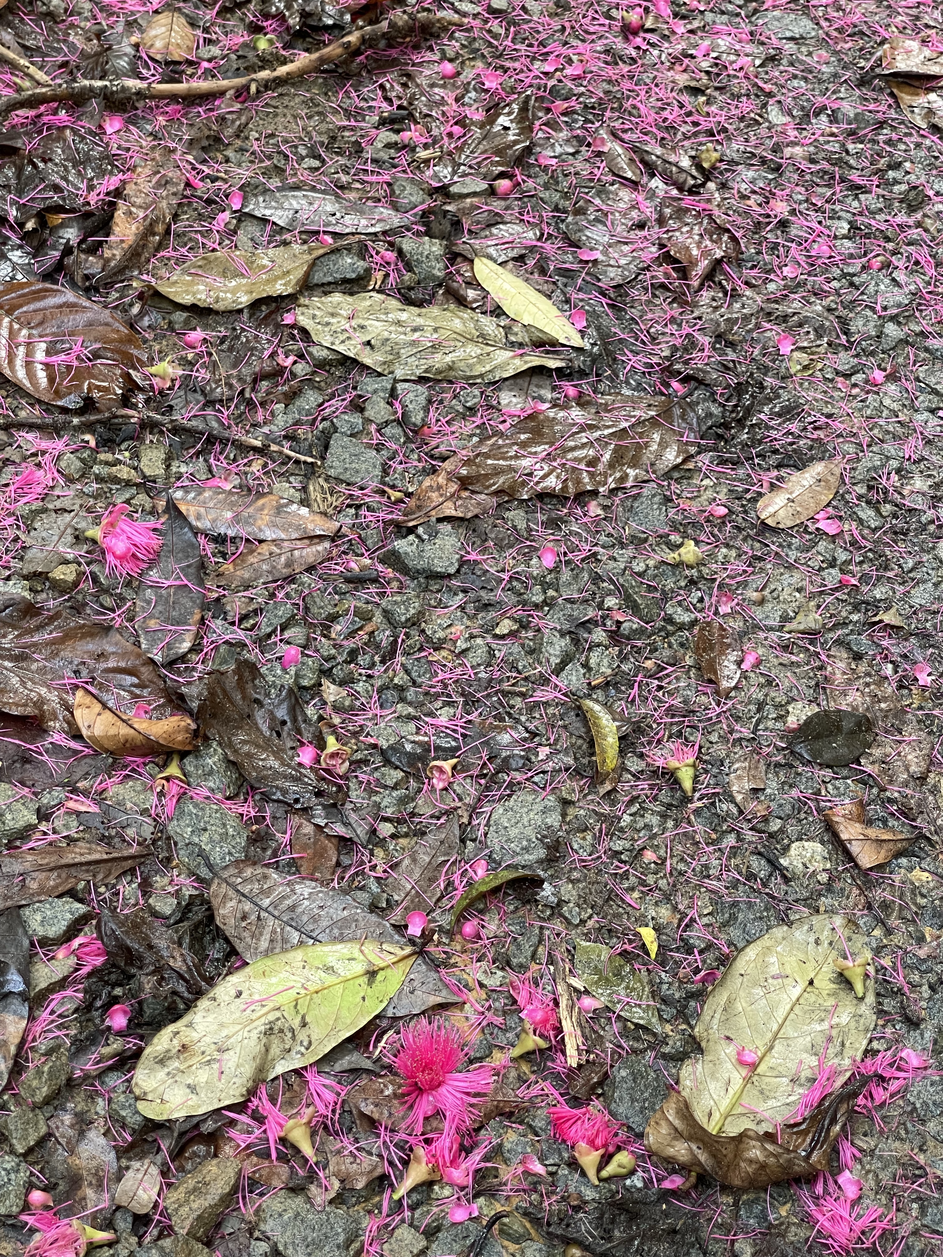
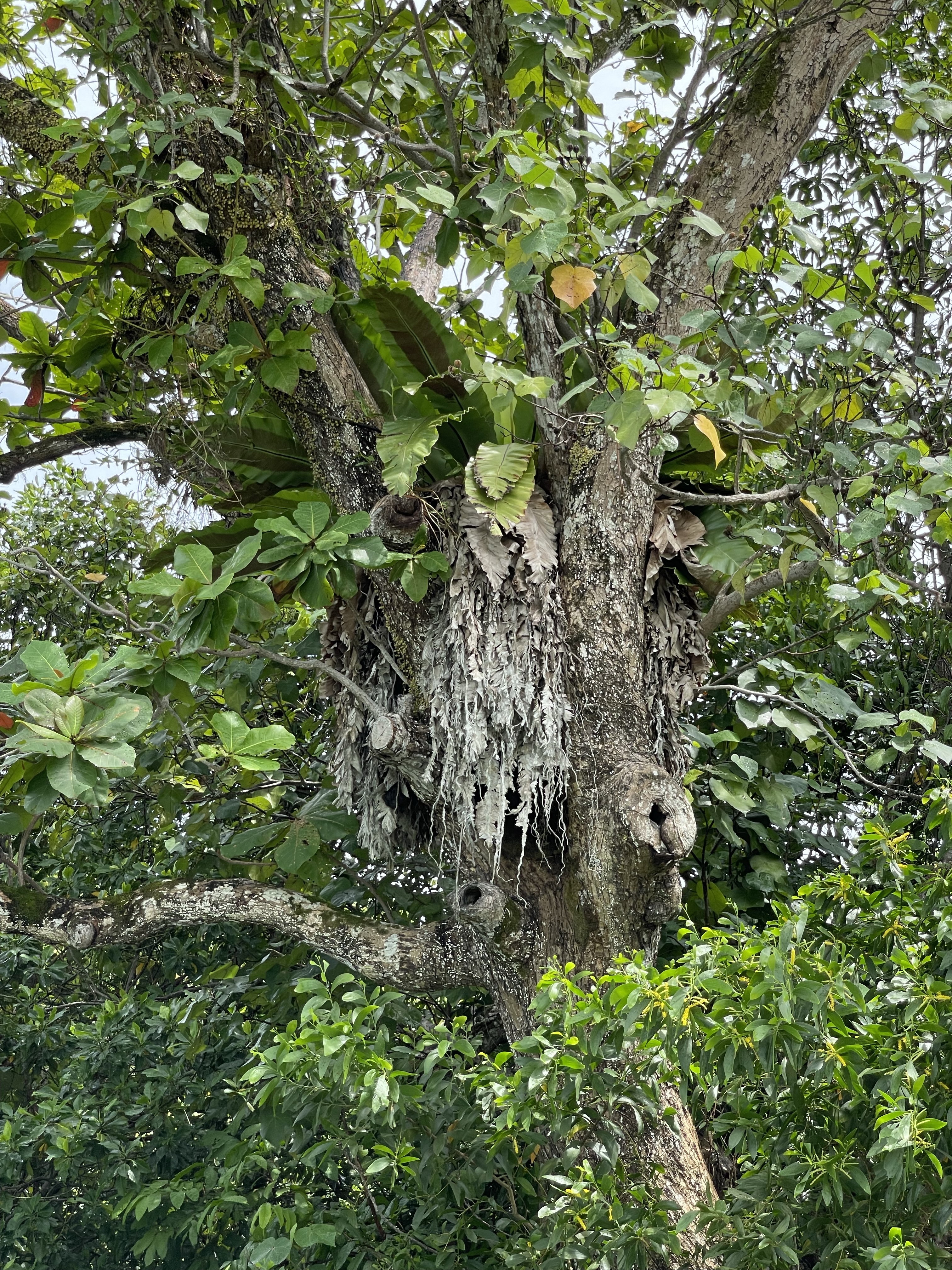
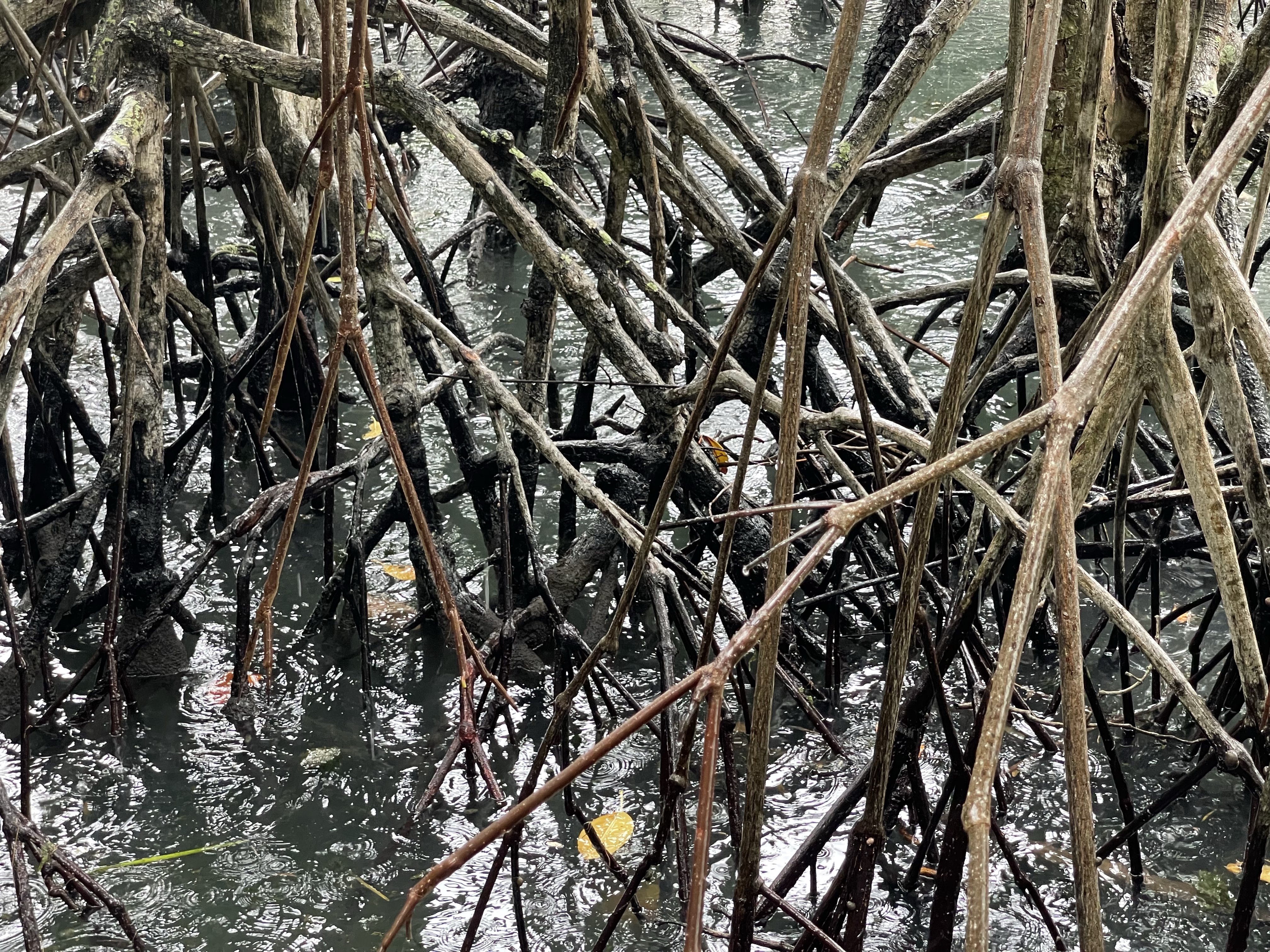
The mangrove wetlands and the ocean board walk revealed a stunning flora and fauna. Next to the expected mud craps, mud scippers, monkeys, boars and a plentora of colorful insects we also saw a blue spotted sting ray between the mangrove roots in the shallow waters.

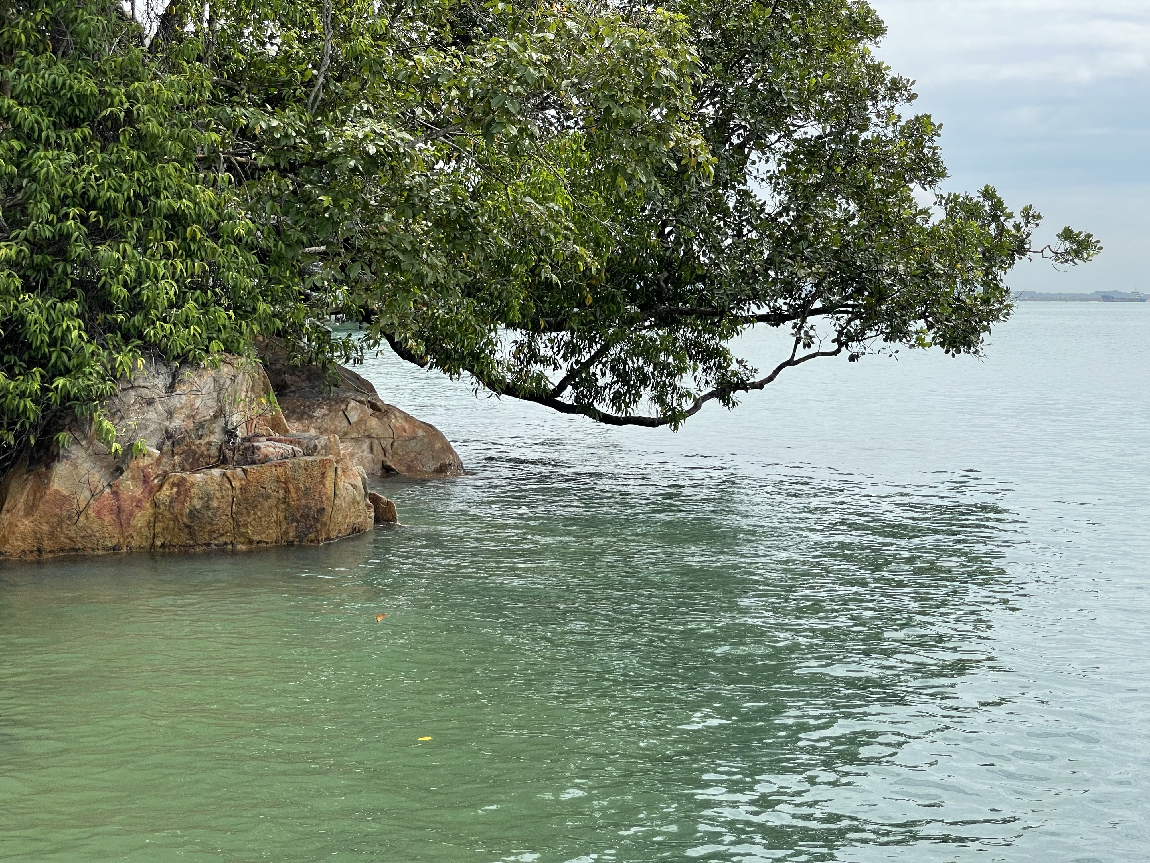
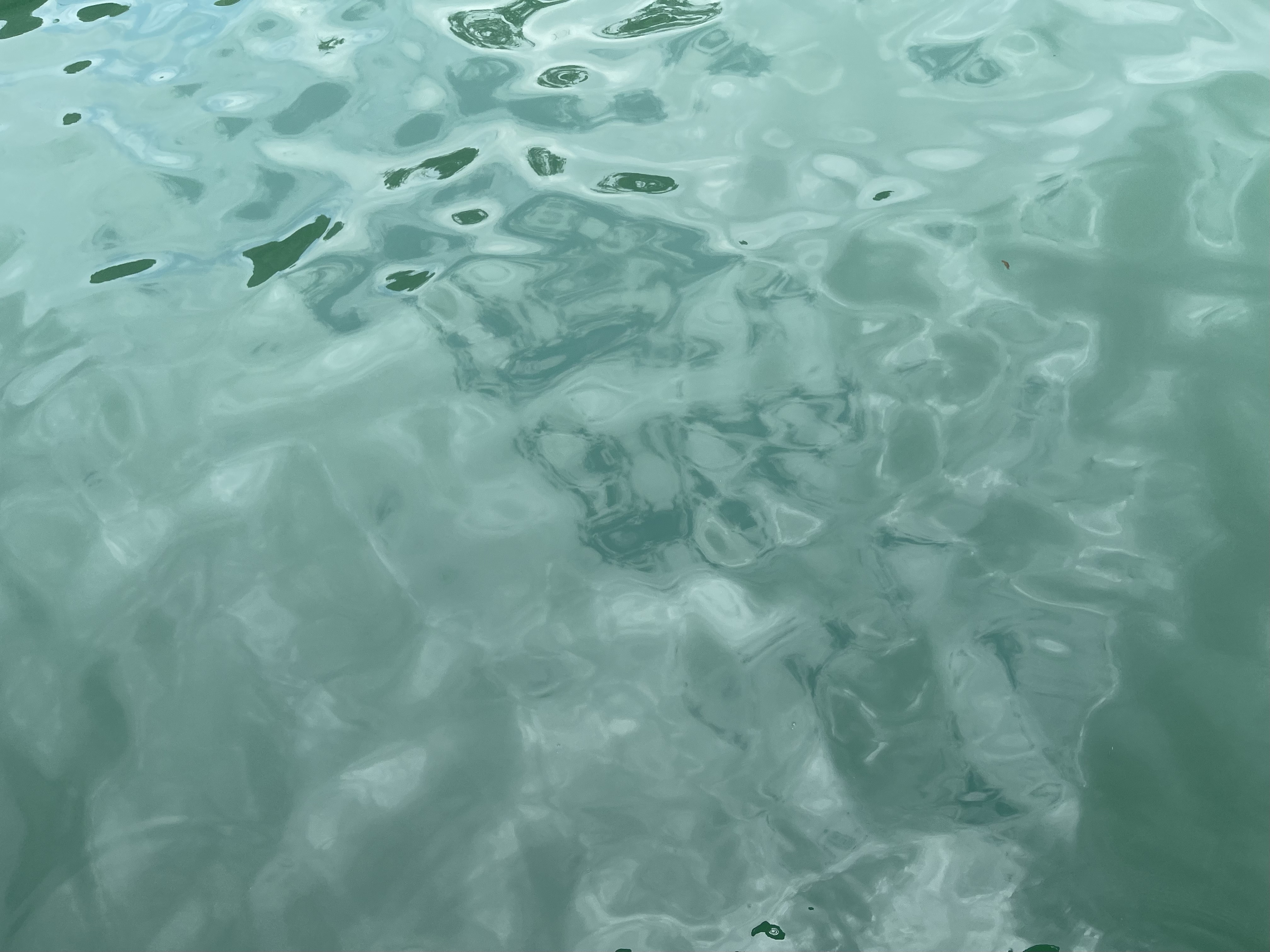
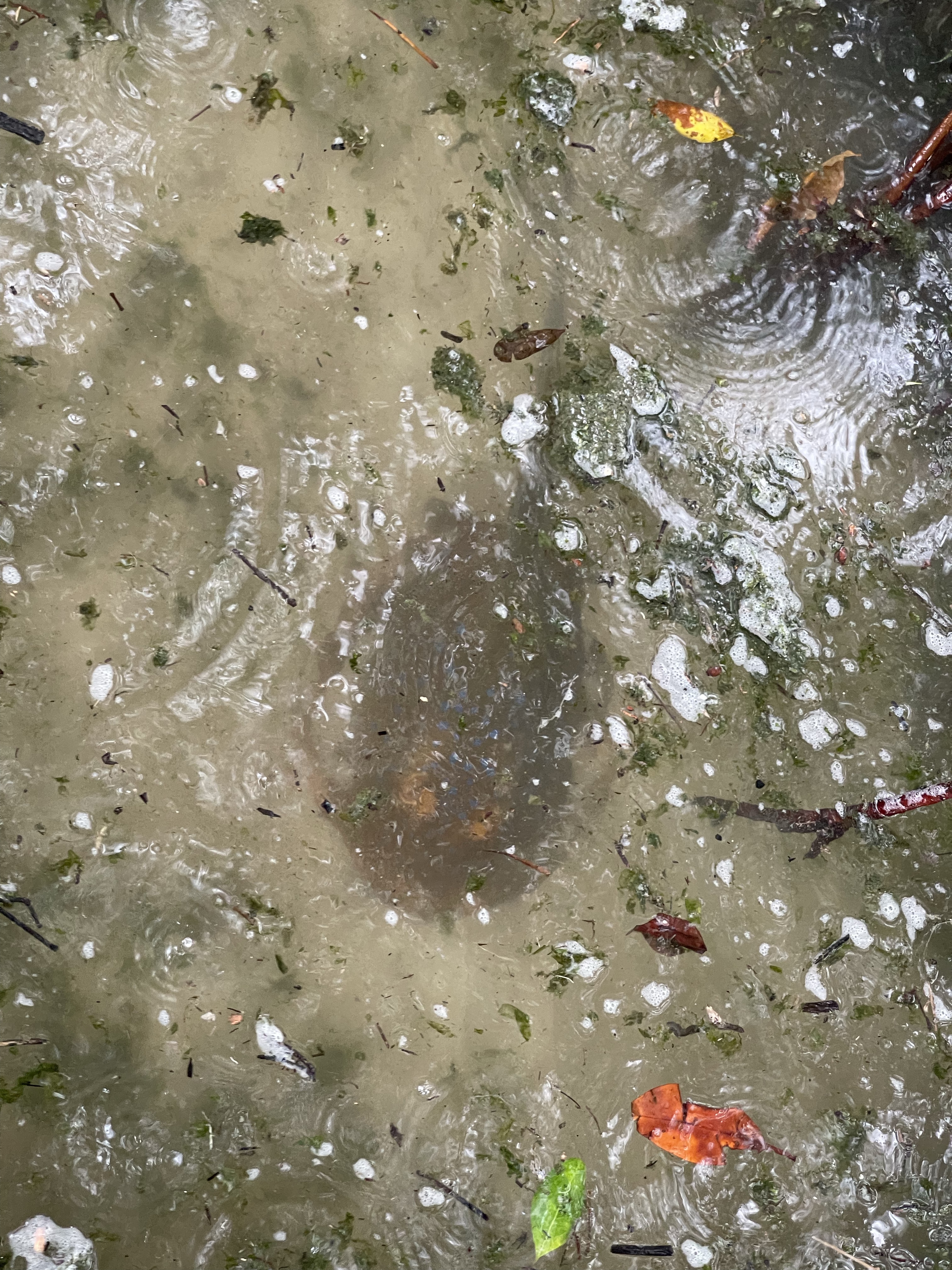
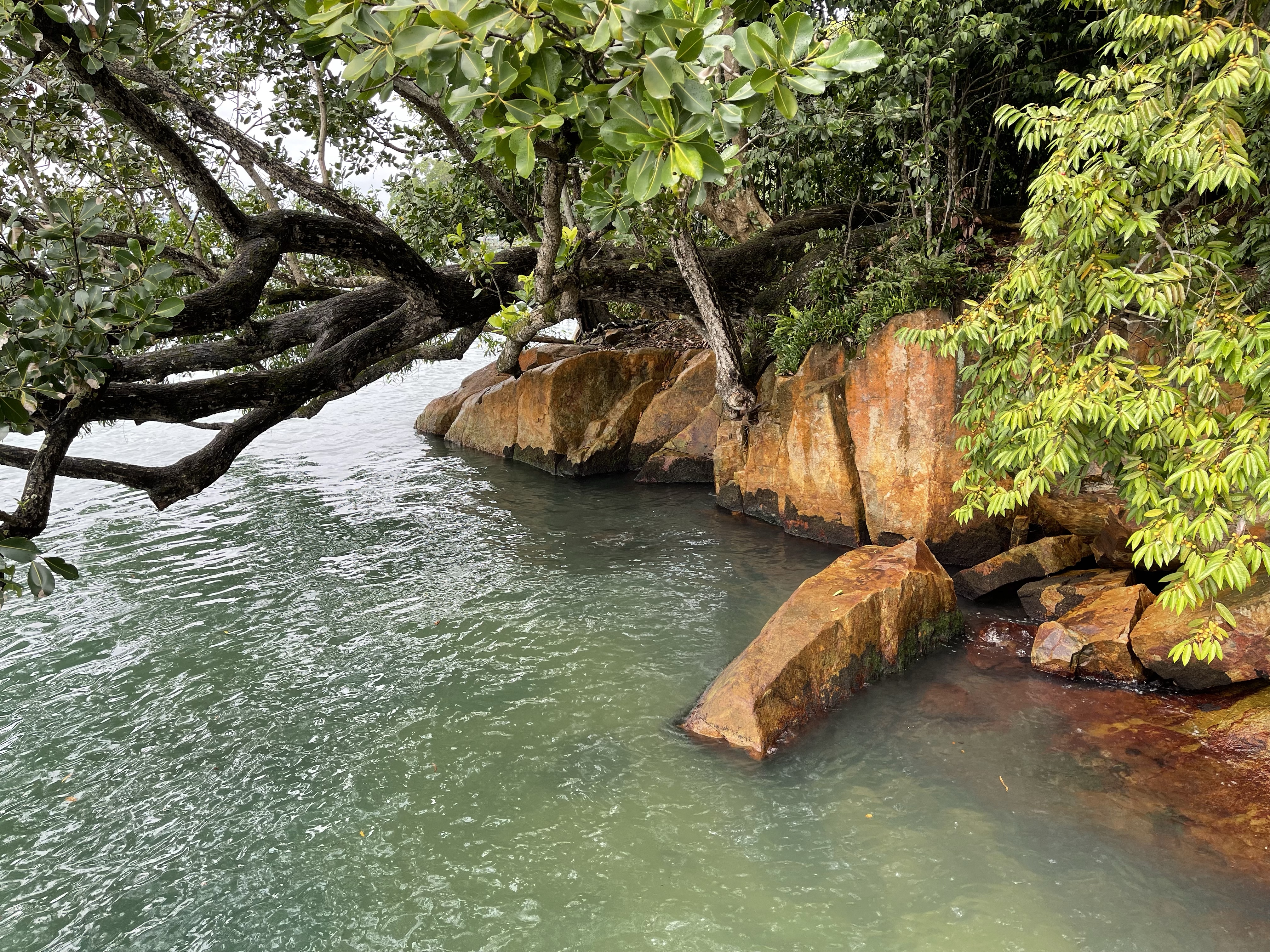

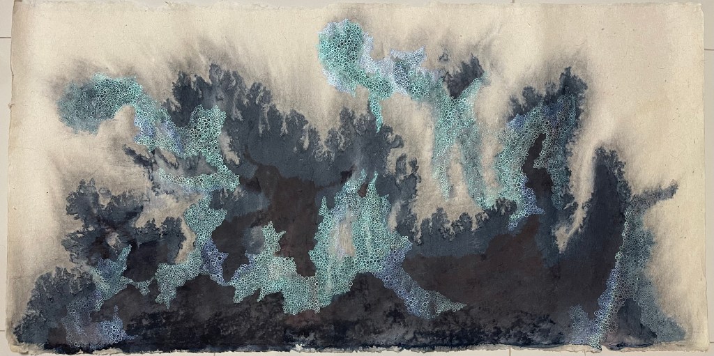
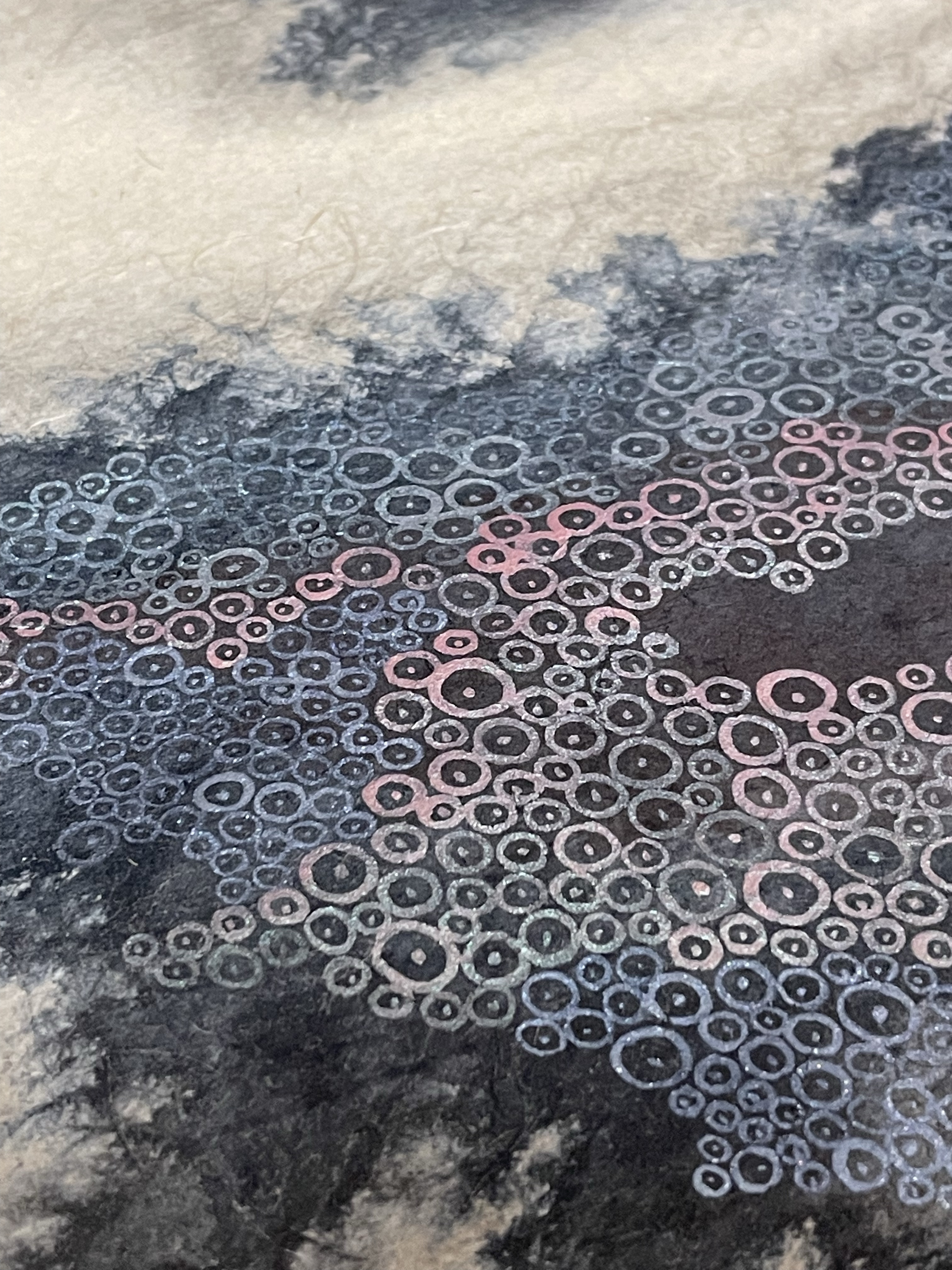
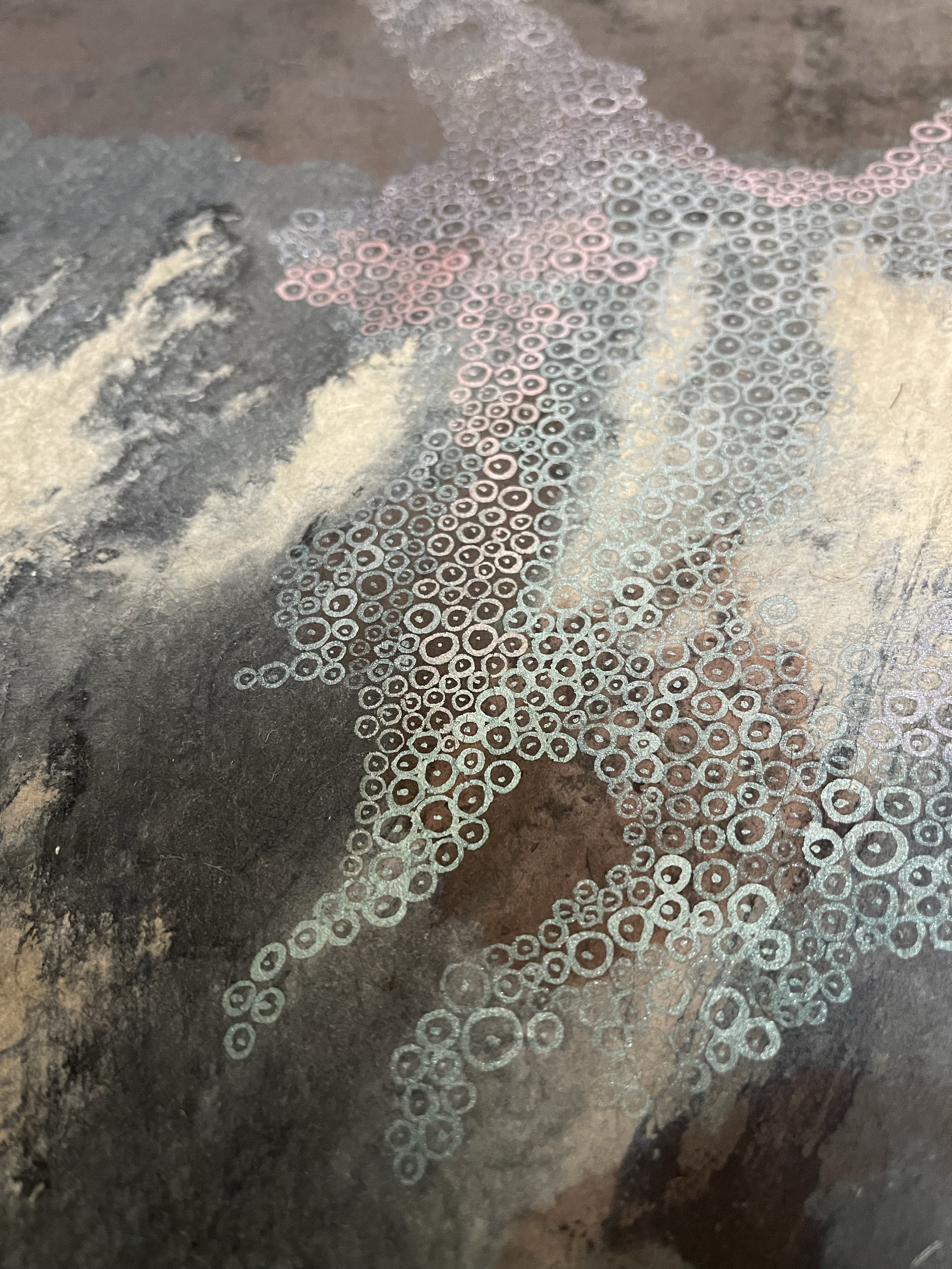
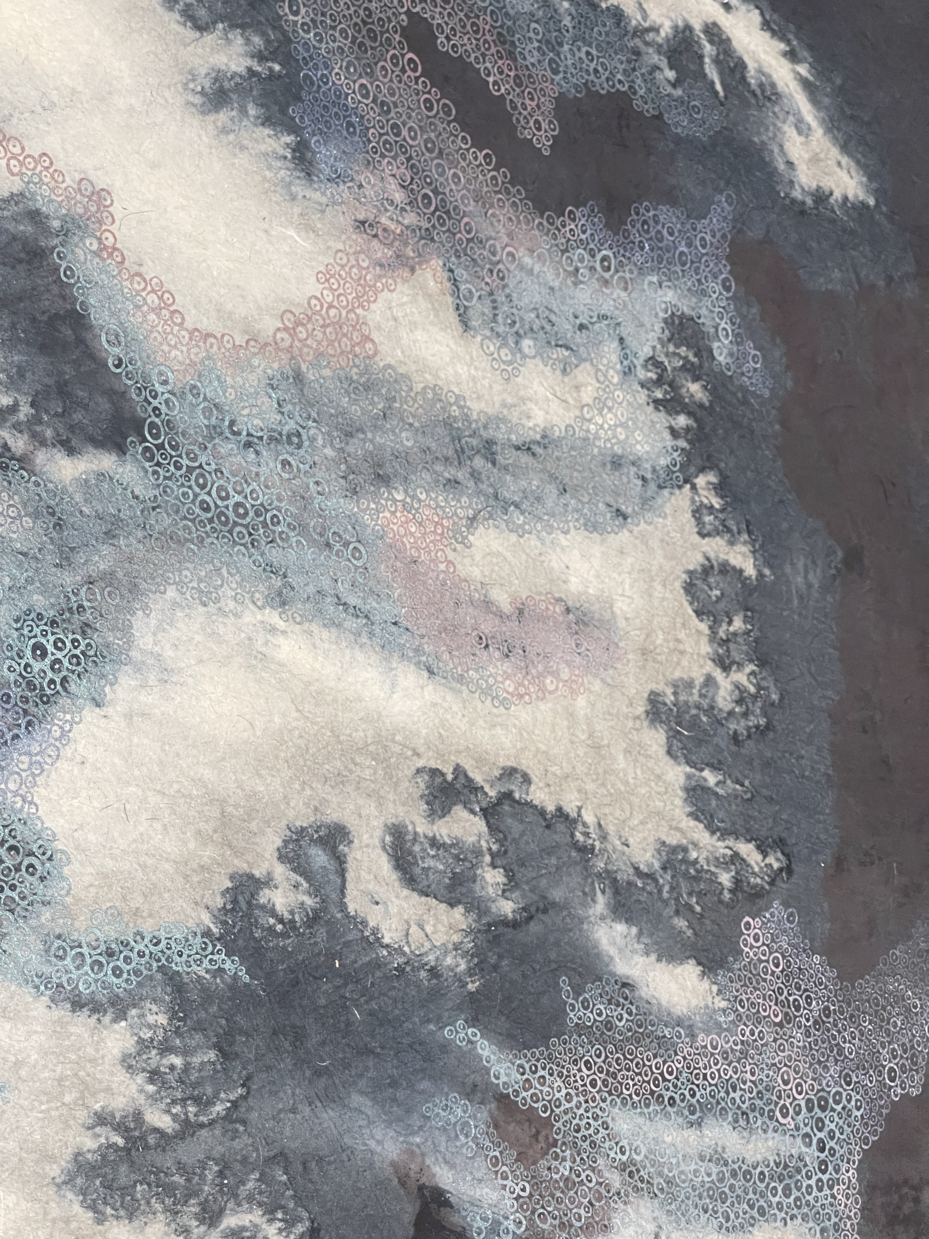
This spot was special. The mangroves plunge into white sandy ground, which were covered with a thick layer of algae. The play of the waves on the beach revealed from time to time the white substrate with veins of green algae.
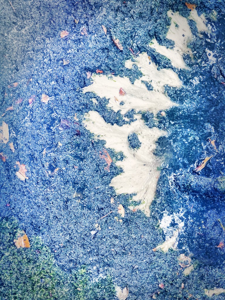
Artwork
I wanted to capture this moment in a picture. The name pasir ris means white sand in Malay.


You must be logged in to post a comment.